


Le Troncq (27)

MichelRando7656
User
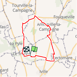

Length
13.1 km

Max alt
162 m

Uphill gradient
53 m
Km-Effort
13.8 km

Min alt
140 m

Downhill gradient
52 m
Boucle
Yes
Creation date :
2019-04-29 10:39:39.989
Updated on :
2019-04-29 10:39:40.075
2h56
Difficulty : Unknown

FREE GPS app for hiking
 SityTrail
IGN / Geographical institutes
SityTrail Plus
The world is yours!
About
Trail Walking of 13.1 km to be discovered at Normandy, Eure, Le Troncq. This trail is proposed by MichelRando7656.
Description
Chemins de campagne.
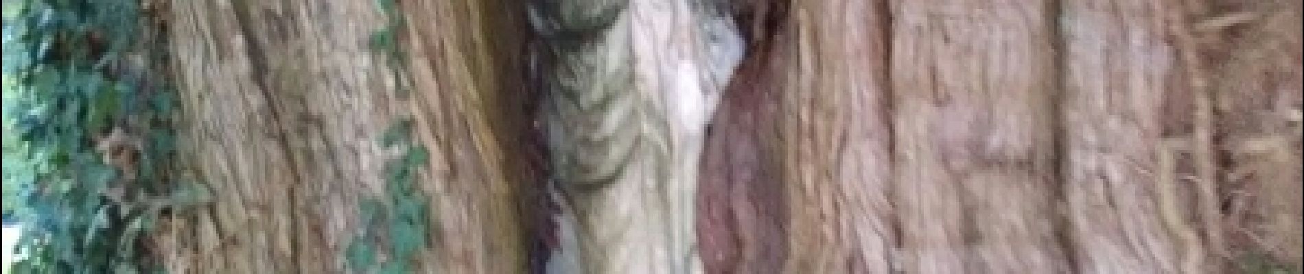
Photos
 - Photo 1")
 - Photo 2")
 - Photo 3")
Positioning
Country:
France
Region :
Normandy
Department/Province :
Eure
Municipality :
Le Troncq
Location:
Unknown
Start:(Dec)
Start:(UTM)
347770 ; 5450720 (31U) N.
Comments
fait sous le soleil très beau au départ